13 October 2026
How to build a pre-season larval habitat inventory
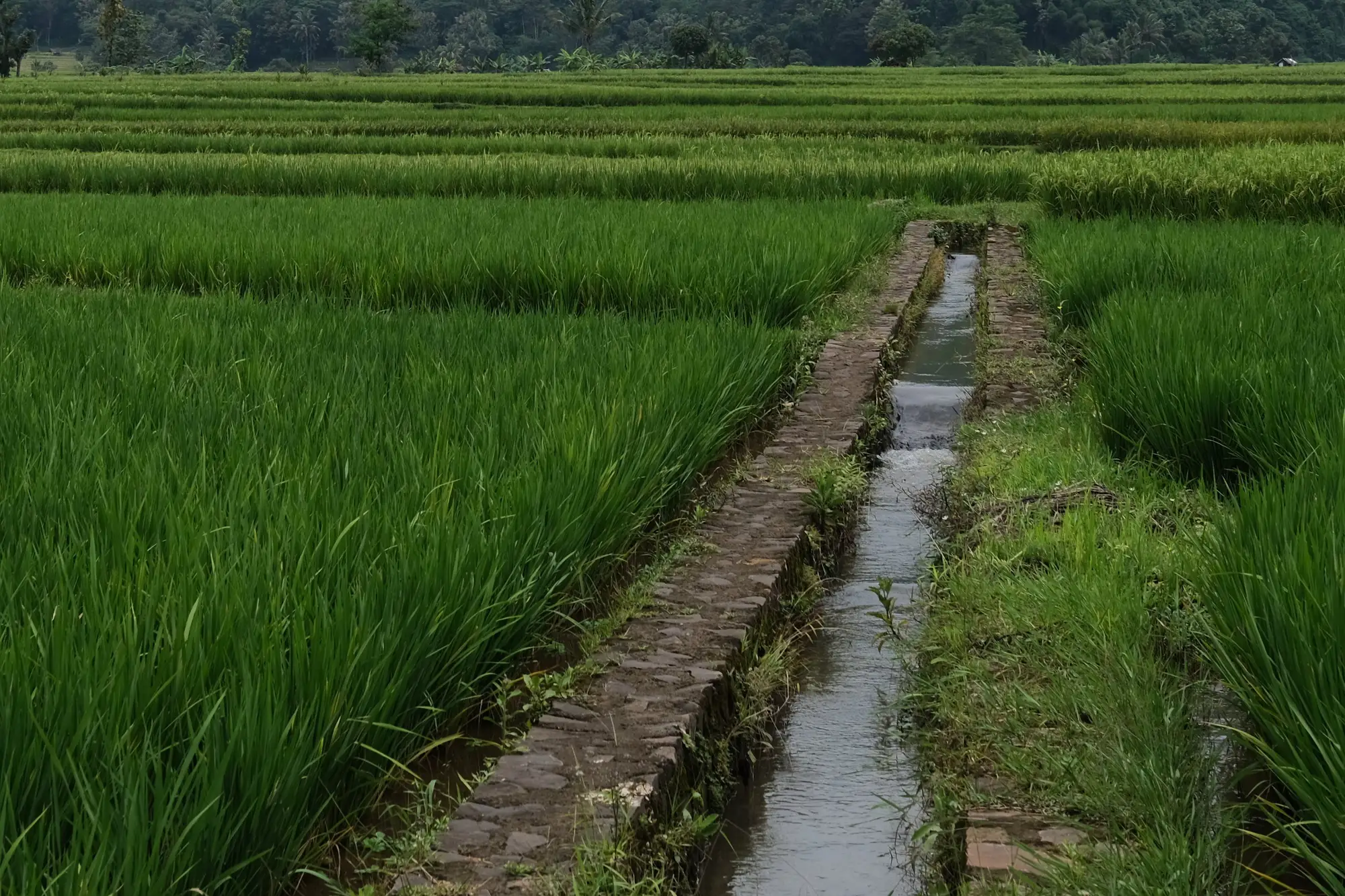
Most programmes already have a breeding site register. The problem is that half of it describes conditions from two seasons ago. A canal that held water through June last year might run dry this year because an upstream farmer changed his irrigation schedule. A borrow pit that never produced a larva in 2024 can turn into the neighborhood's top Culex source after one contractor leaves it unbacked. A register that isn't rebuilt or at least re-walked before each transmission season is a list of where mosquitoes used to breed.
Building the inventory starts with the dry-season site walk, but it doesn't end there.
What goes in a breeding site register
A usable register needs more than a pin on a map. For each site your crews should be capturing:
- GPS coordinates and a site ID that survives staff turnover
- Habitat type: irrigation ditch, rice paddy, tire pile, construction excavation, roof gutter, tree hole
- Permanence: does it hold water year-round, seasonally, or only after rain events
- Vegetation cover, since shaded, vegetated margins read differently than open water for different genera
- Larval presence on the walk date, dipped and counted if your SOP calls for it
- Access notes: locked gate, private land, needs a permit, reachable only by foot
Some programmes keep this in a shapefile, others in a spreadsheet a foreman fills out on paper and someone transcribes later. Either works as long as it gets updated, not just created once and left alone.
Where the dry-season site walk runs out of road
A site walk done in February or March tells you what's wet right now. It tells you almost nothing about what's going to flood in May when the irrigation district opens the canals, or which rice paddies the co-op decides to plant this cycle versus leave fallow. Crews can't walk every field in the district twice a week to catch the moment ponding starts, and most don't have the hours to try.
That's the gap between an inventory and a plan. You can have a beautifully detailed register of last year's sites and still send a crew to spray a field that's bone dry while a new breeding site three kilometers over fills unnoticed for two weeks.
This is also where vegetation condition matters as much as the water itself. A field that's green and actively irrigated behaves differently from one gone fallow and overgrown, even if both show standing water on a given day. Crews walking a transect once a season aren't going to catch that shift as it happens.
Turning the walk into a working register
Pairing the ground inventory with a wider view of where water and vegetation conditions are already changing gets more out of the same crew size. The walk goes to the fields that need it first instead of covering the whole district on a fixed rotation. Breeding Habitat Map builds that view from satellite imagery ahead of each season, flagging where ponding and greening patterns point toward rising habitat suitability, so your foremen can prioritize which sections of the register to re-verify first instead of starting from zero.
Treat the register as a living document, not a one-time survey. Re-walk high-turnover zones (active agriculture, construction sites, informal settlements) every season at minimum. Archive sites that have been paved over or filled, but don't delete them outright. Next year's new hire will want to know why there's an old pin on a lot that's now a parking structure.
A good inventory answers where mosquitoes bred last year. A useful one tells you where to look first this year. If your register needs that seasonal refresh before the rains start, it's worth seeing what a pre-season habitat layer can add to the walk.