7 October 2026
What is habitat suitability modeling for mosquito vectors?
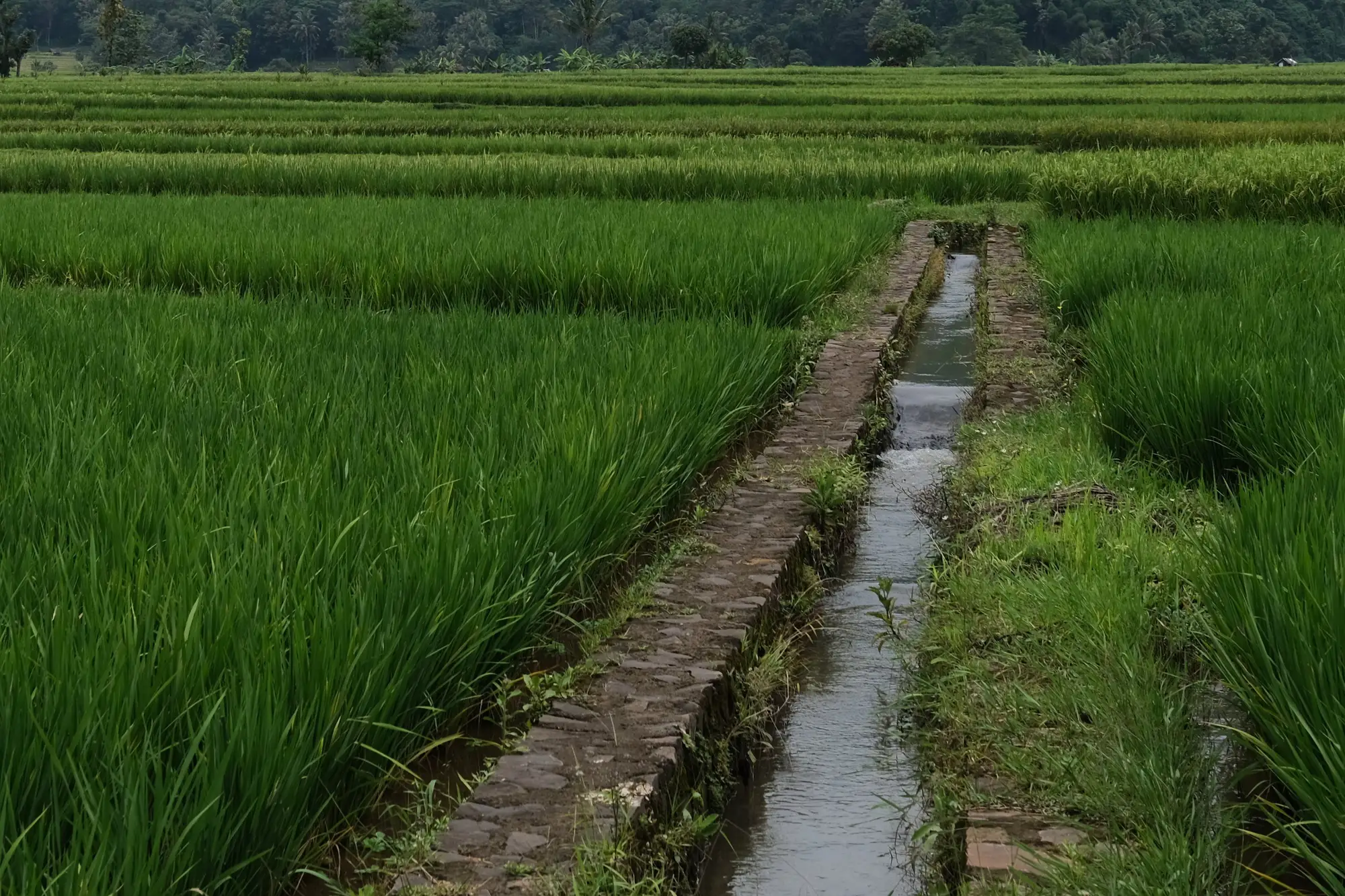
If you run larval-source management for a vector control programme, you've probably heard the phrase thrown around in a grant proposal or a WHO technical note without much explanation attached. Here's what it means and why it matters before you plan a spray season.
Habitat suitability modeling predicts where mosquito breeding is likely to happen, instead of waiting to find it after the fact. Rather than sending a crew out to walk every culvert, rice paddy edge and irrigation ditch in your district, you combine the environmental conditions mosquitoes need, standing water, vegetation cover, soil moisture, temperature range, into a model that scores the land by how good a breeding site it would make. The output is a probability surface: which parts of your service area look like container-breeding or floodwater-breeding habitat right now, based on current surface conditions.
How it's different from a larval survey
A larval survey tells you what happened. A technician dips a cup in a ditch, counts instars, logs a GPS point, and that point goes into a spreadsheet that's accurate for exactly the week it was collected. Habitat suitability modeling reads surface conditions across the whole programme area at once from satellite imagery, flags where water is pooling or vegetation patterns match known breeding habitat, and updates that picture as conditions change through the season.
The practical difference shows up in routing. A list of last year's breeding sites tells your crews where mosquitoes bred twelve months ago. Rainfall patterns shift, irrigation schedules change, a new construction site holds water where there wasn't water before. A vector habitat suitability layer built from current imagery catches that shift instead of sending teams back to sites that dried up or silted over since the last transmission season.
What goes into the model
Most useful suitability layers for LSM planning lean on a handful of inputs pulled from multispectral satellite data: standing water extent, irrigation ponding, and vegetation indices that correlate with the damp, shaded, slow-moving-water conditions mosquitoes favor for egg-laying. Resolution matters here. At 0.5 to 2 meter ground sample distance you can pick out a blocked drain or a ponded field corner, not just "this watershed is wet." That's the difference between a layer a programme officer can route crews against and a regional rainfall map that tells you what you already knew.
This is a prediction of suitable conditions, built from surface water and vegetation signals, with no thermal band in the mix. It won't give you a species count, a confirmed larval presence, a water temperature reading, or an entomological inoculation rate. What it gives you is a shortlist: where to send surveillance teams first, which irrigation blocks to prioritize for larviciding, which sub-areas to recheck as the season turns from dry to wet.
Where this fits in planning
Programme officers typically pull a suitability layer at the start of each transmission cycle, before the first spray round is scheduled, to decide where larval-source management crews go first and where pre-season larviciding makes sense before breeding sites fill in. Conditions on the ground shift as rainfall and irrigation timing change. A map built once per season, refreshed as conditions turn wetter or drier, lines up with how LSM budgets, staffing and crew schedules get set. It's a planning input, something you overlay against your existing site registry and crew routes, not a replacement for ground surveillance.
If your current routing still runs off a site list from last year's survey season, a seasonal habitat-suitability layer built from current imagery is worth a look before your next spray round gets scheduled.